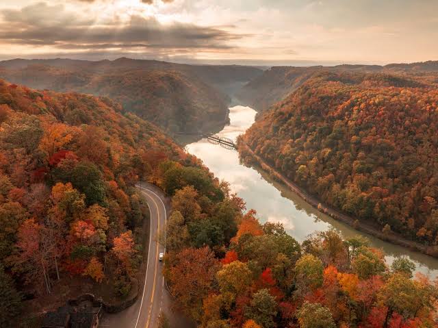
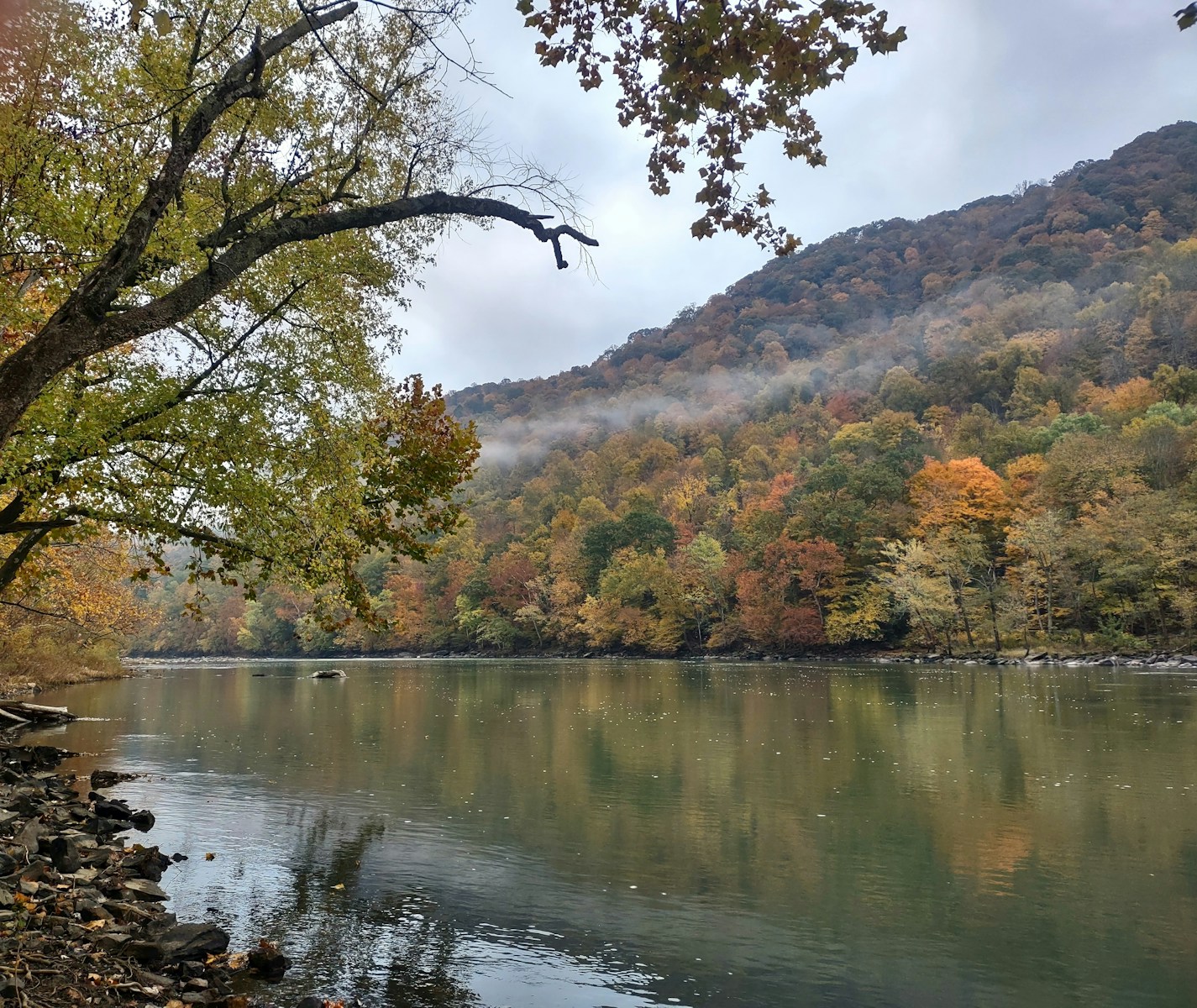
Leaf-peeping trips fail for one predictable reason: people show up on the wrong week. West Virginia just made that mistake a lot harder to make. On August 19, the West Virginia Department of Tourism released its 2026 fall foliage projection map — an official, state-run forecast that breaks the entire state into color windows by region and elevation, then updates weekly once the season actually starts turning. It is, functionally, a leaf-peeping calendar with your name on a specific week.
The core finding, per West Virginia CBS affiliate WCHS’s coverage of the release: central West Virginia is projected to hit peak color from late September through mid-October, while the state’s southwestern counties and panhandle regions won’t turn until late October into early November. That’s more than a month of separation between the earliest and latest color in a state you can drive across in half a day — which is exactly the point of publishing region-specific timing instead of one blanket “peak season” window.
Why one state can have a five-week foliage season
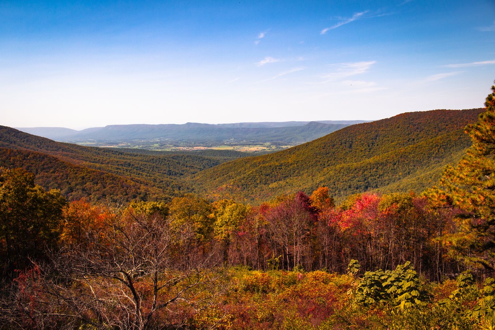
The spread comes down to elevation, not latitude. Color develops first in the Allegheny Mountains’ high country and works its way down, according to WCHS’s reporting on the tourism department’s methodology — meaning a mountain overlook and a river valley 40 miles apart can be weeks apart in color, not days. A broader breakdown from West Virginia Explorer lines this out in three bands: high elevations typically turn late September into early October, mid-elevations follow in mid-October, and lower valleys hold out until late October or even early November. Plan a trip around the wrong band and you’ll either catch bare branches or a canopy that hasn’t started yet.
The map updates as the season actually happens
What separates this from a static “best time to visit” blog post is the update cadence. Per a report from The Times West Virginian, the tourism department will refresh the map weekly starting in mid-September, adjusting projections against real conditions on the ground rather than locking in a forecast in August and hoping the weather cooperates. That matters because color timing is genuinely weather-dependent: warm, sunny days paired with cool (not freezing) nights tend to produce the sharpest color, while drought pushes leaves to brown and drop early, and heavy wind or rain during peak week can strip a canopy in a weekend.
The same Times West Virginian report notes the tourism office is pairing the map with an “Almost Heaven Swing BINGO Challenge,” inviting travelers to check off nearly 80 locations statewide via mobile app for seasonal prizes — turning the foliage map from a passive planning tool into an actual statewide itinerary generator.
How to actually use this if you’re planning a trip
- Match your destination to your travel date, not the other way around. If you’re locked into a specific weekend, pick the elevation band that’s likely to be peaking then rather than hoping your preferred spot cooperates.
- Early fall, go high. Late September through the first week of October favors high-elevation routes like the Allegheny Highlands and areas along U.S. 219 and U.S. 48.
- Late fall, go low and south. Late October into early November is prime time for the southern counties, the panhandle regions, and lower river valleys.
- Check the week before you go, not the month before. Both the state’s own weekly updates and independent trackers like the West Virginia Division of Forestry are more reliable close to your trip than any forecast made in August.
Most states publish a foliage guide and call it done for the season. West Virginia’s approach — regional windows, weekly revisions, and a live incentive to actually chase the color around the state — treats fall not as a single event to catch, but as a five-week-long moving target you can actually plan against.